📐 Module I: Foundational Survey Techniques & Technical Literacy
“Laying the ground for precision — from instruments to topographical mastery.”
| TVET CDACC Unit Code | Unit Title | Duration (Hours) | Credit Factor |
|---|---|---|---|
| LSM/CU/LM/BC/01/5/MA | Digital Literacy | 40 | 4 |
| LSM/OS/LM/CC/01/5/MA | Engineering Mathematics I | 60 | 6 |
| LSM/OS/LM/CR/01/5/MA | Surveying Instrument Operation | 70 | 7 |
| LSM/OS/LM/CC/04/5/MA | Principles of Cartography | 60 | 6 |
| LSM/OS/LM/CR/02/5/MA | Topographical Survey | 150 | 15 |
🎯 Why This Module Matters
- Builds foundational digital and mathematical skills needed in all surveying tasks and software applications.
- Introduces learners to hands-on instrument handling and real field conditions through operational mastery.
- Develops topographical and cartographic interpretation which is critical for terrain analysis and mapping outputs.
🛠️ Why It’s Relevant to Land Surveyors
- This module gives new surveyors practical exposure to the essential tools and techniques used on-site and in-office settings.
- It establishes the first level of competence in analyzing land features, recording field data, and interpreting survey results.
- Surveyors gain confidence using instruments, understanding maps, and preparing for advanced computational topics later.
Unit Description:
This unit covers the competencies required to demonstrate digital literacy. It involves Operating computer devices, solving tasks using the Office suite, Manage Data and Information, Perform Online
Communication and Collaboration, Apply Cybersecurity Skills, Perform Online Jobs and Apply job entry techniques

Unit Description
This unit describes competencies required by a technician to apply a wide range of mathematical skills. It entails; Applying Algebra, Applying Trigonometry and Performing Coordinate Geometry
Unit Description
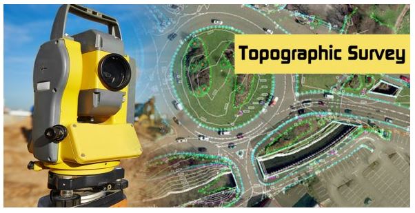
This unit covers the competencies required by a land surveyor to conduct topographical survey. It involves conducting topographical survey reconnaissance, establishing topographical
control points, collecting topographical features, and preparing topographical map.